
RUN BOZEMAN
Find us on Strava.
With access to over 100 miles of trails, the Main Street leads to the Mountains. Here are a few of our favorite trails to enjoy.
-
Gallagator Trail
Flat, dirt trail connecting Main St. and Sourdough Trail starting at Lindley Park or behind the Bozeman Library to Kagy & Willson/S. 3rd. If you want to continue, the trail picks up a little ways past Kagy off of the dead end of S. 7th and continues behind the neighborhood for a little ways. An out & back from Main St. would be roughly 5 mi.
-
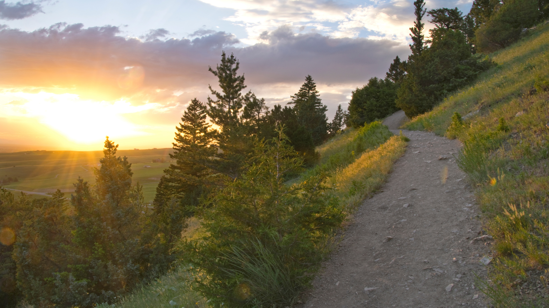
College "M" Trail
Trailhead is located up Bridger Canyon Rd. (Route 86- just look for the giant white M on the south end of the Bridgers!) You have two options: the "Long Way" which is 1.5 miles up a winding dirt trail with beautiful views or the "Steep Way" which is 3/4 mile straight up on a rocky dirt trail, considered difficult. Both ways have the option to continue up to the ridge to Baldy mountain (5 mi) and beyond, up to 21 miles.
-
Triple Tree Trail
Trailhead starts at a small parking lot off Sourdough Rd. in South Bozeman. The trail from the parking lot proceeds up a long, gradual hill into a wooded creek area. It crosses Limestone creek several times before steeply ascending to a viewpoint. If you go all the way to the viewpoint at the top and back, it is ~4.5 miles.
-
Glen Lake Rotary Park
A system of trails near Bridger Canyon Rd. & Story Mill Rd. The trail can be picked up on North Wallace by the railroad crossing (go under the bridge) and continue across Bridger Canyon Rd. Make a left and wind through neighborhoods to Bozeman Beach. Continue on the trail to Cherry Creek if you cross Manley Rd. This out and back is ~7 miles including the Cherry Creek loop.
-
Sourdough Canyon
Located off of Nash Rd. at Sourdough Canyon Rd. just south of Bozeman, this may be the most gradual of all the trails mentioned, as it gains elevation rather slowly. It is an old logging road that skirts Bozeman Creek. Continue up all the way to Mystic Lake (8 miles to the lake) or do an out-and-back at any distance. It is also groomed for XC-skiing during the winter. es here
-
Gallatin Regional Park
There are two small "lakes" at this park surrounded by trail. The trail system can be a couple of miles if you run absolutely all of it, but this trail might be best for short runs. The distance of the trail skirting both lakes is ~3/4 mile. If you are looking to do short scenic laps, this is the place to go as the views of the Bridger Mountains are gorgeous.
-
Sypes Canyon
A beautiful wooded canyon on the west side of the Bridgers. The trail gradually winds to an impressive lookout point 2 miles up. Some parts are steeper than others, but it's definitely run-able. You can opt to continue up from the lookout. Take Springhill Rd. north to Sypes Canyon Rd. and follow it to the end, where there is a small parking area.
-
South Cotonwood
The trail starts with a handful of steep switchbacks, but don't be fooled... the trail opens up and crosses the creek a few times (plenty of water for dogs!). Watch out for mountain bikers around tight corners and refrain from loud headphones to stay alert. The third bridge is ~2.5-3 miles, but you can continue to Hyalite or all the way to Mount Blackmore.
-
Hyalite Canyon
There are numerous trail options in the canyon — stop in the store for a deeper look at the ‘Bozeman Area’ Beartooth Publishing map. Must do’s: Hyalite Peak, Blackmore, Palisade Falls, Grotto Falls, and Emerald and Heather Lakes. The canyon is perfect for trail running, mountain biking, stand-up paddle boarding, camping, and skiing during the winter months.
